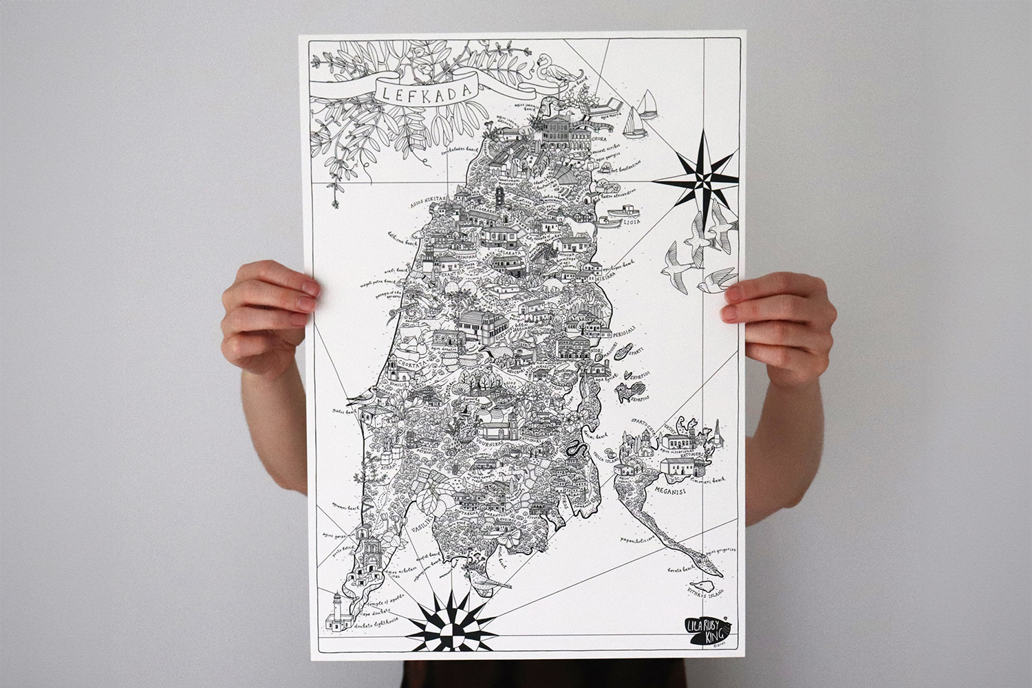
Illustrated map of Lefkada
This is an illustrated map of the Greek island of Lefkada, printed digitally onto paper in black ink, at a size of 33 x 46cm. The map is created with a combination of hand drawing and digital illustration and is extremely detailed. Drawings in it represent towns, villages, nature, local food and history.

